معــاً لنجاح بلا حدود!
تُعتبر المنطقة الحرة موطنًا لأكبر وأشهر ميناء تجاري في ليبيا، الذي يستحوذ على نحو 60% من حجم التجارة غير النفطية في البلاد. تقدم المنطقة بيئة استثمارية مثالية للمستثمرين المحليين والدوليين، حيث تُعفى الأنشطة التجارية من كافة الضرائب والرسوم الجمركية وأي قيود أخرى.


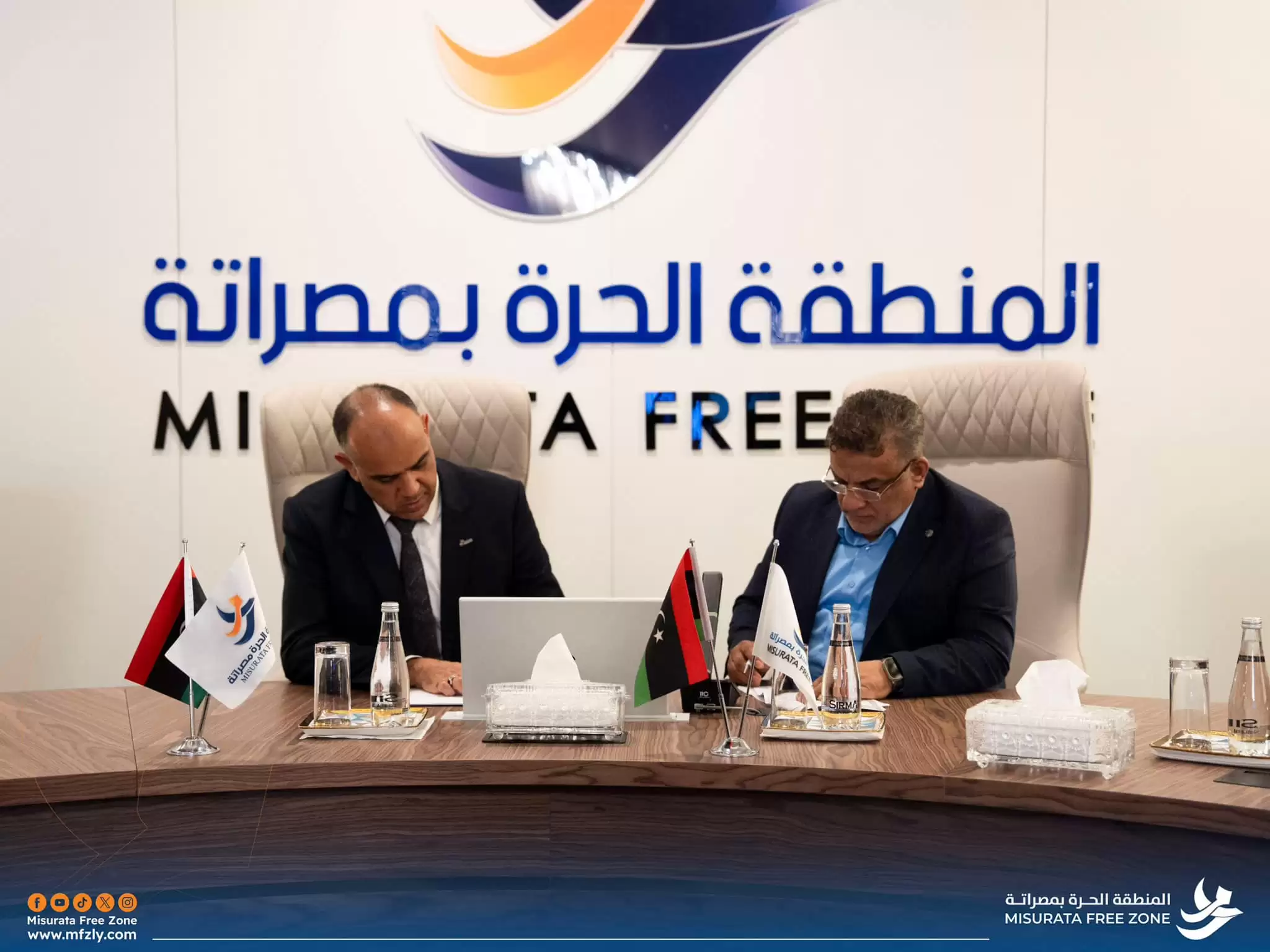
لم يكن اختيارنا للمنطقة الحرة بمصراتة مجرد صدفة، بل كانت خطوة مدروسة نحو الريادة. هذه البيئة الاستثمارية المتكاملة، ببنيتها التحتية المتطورة وموقعها الاستراتيجي، أعطتنا دفعة قوية لنحقق نجاحًا استثنائيًا.
حين اتخذنا القرار بالدخول إلى المنطقة الحرة بمصراتة، كنا نعلم تماماً أننا أمام خطوة كبيرة وتحدٍّ أكبر يتطلبان الكثير من الجُرأة والطموح. كمدير عام لشركة الشرق للسيراميك والمواد الصحية، كنت دائمًا أؤمنُ بأن الفرص العظيمة تأتي لأولئك الذين يبحثون عنها بجرأة، والمنطقة الحرة بمصراتة كانت بالتأكيد المكان المثالي لتحقيق أحلامنا.
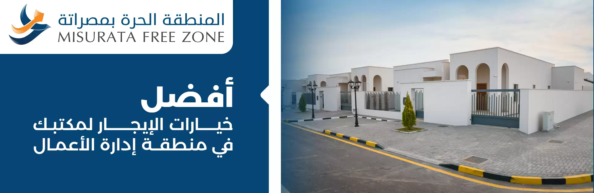
اختيارنا للمنطقة الحرة بمصراتة؛ كان خطوة استراتيجية مكّنتنا من تقديم خدمات تخزين وتوزيع بمعايير عالمية، حيث توفر المنطقة بنية تحتية متطورة ومساحات آمنة ومجهزة بالكامل


ادارة تقنية المعلومات - المنطقة الحرة بمصراتة حقوق النشر محفوظة © 2025